Saturday 25 March 2017

Walking along the Balades Vertes

Quite recently Saône-et-Loire, South Burgundy has completed the Balades Vertes which are a large number of signposted walking routes throughout the whole of the département (71). Together with the Voie Verte (check out the article) these routes make this area a Mecca for walkers.

In the capital of our canton, St Gengoux le National, the tourist information office has a little book with details of the walks that are in the area between the rivers Grosne and Guye, rather unsurprising called "Guide les Balades Vertes entre Grosne et Guye". The book contains 26 signposted walks and costs €8.00, a little map and description of each walk can be bought separately and they cost € 2.00 each. All the signposts or markings on trees and fence posts are in yellow and are very clear.

A large number of communes along the Voie Verte have a starting point for their walks. The routes to these starting points are clearly marked with large signposts “Randonnée - Balade Verte” on the main roads. By each start point there is a carpark and a map with an overview of the routes that start and finish at that point and the route reference number, for instance the routes from Cormatin are CO1 and CO2, from Taizé TA1 etc. Click here for an album with some more pictures of the Balades Vertes.

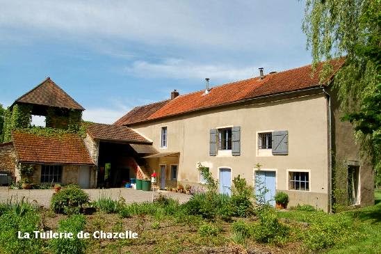
Taking a break along the Balades Vertes
For those who want to be a bit more adventurous and make their own way around here, there are very well detailed maps from IGN in their Série Bleue (1:25000) which you can use to find all the footpaths in the area. One of the Grande Randonnées passes close to Cormatin (GR76) and Cluny is one of the starting points for the road to Santiago de Compostella.

Over and above all this, from early in the spring until late in autumn, there are organised randonnées most weekends. The routes are marked by different coloured spray paint arrows on the road or wooden arrows on temporary posts and the walks usually range from 5 to 30 km. At strategic points on the way there are refreshment stalls where wine, water, French bread, cheese and sausage are distributed. The prices vary by distance and range from €3.00 to €10.00.

We get many questions about how to walk or cycle to Taizé from here, so we have made some maps of the various routes and posted them in a photo album. Click here for those routes.

Saturday 11 March 2017

Cycling down the Voie Verte

The Voie Verte (the Green Pathway) is a walking/cycle path that runs from north to south through Saône-et-Loire (71), South Burgundy. In the nineties, the local governing bodies decided to tarmac the old railway track from Chalon-sur-Saône to Mâcon as a leisure facility. Many of the old stations have been turned into “service stations”. This concept was so successful that the original 80km of cycle path has been extended to cover 320 km and extra circuits (boucles) that go off into the surrounding countryside have been created, giving in total approximately 730 km of marked out cycle routes. La Voie Verte runs not only over the old railway tracks, it now runs over canal tow paths and also specially created cycle paths have been built to link the various sections of Voie Verte together.

A special map on the subject shows the complete Voie Verte Saône-et-Loire (71) and its boucles. The boucles all begin and end on the Voie Verte and are signposted. Each boucle is graded for difficulty from 1 being easy up to 4 which is very hard work.

At some places near Cormatin and at the campsite in Cormatin, you can rent bicycles, by the hour, day or week. Prices in Cormatin are approximately €20 per day or approximately €65 per week. Click here for an album with a few more pictures of the Voie Verte.

The Voie Verte near Chazelle

The whole Voie Verte concept has extended beyond Saône-et-Loire and there are now plans to link all the paths in Burgundy (approximately 600km) and extend them by a further 200km by linking them into the paths in Rhône giving a total of about 800km of cycle paths near here.

La Voie Verte is about 2km from La Tuilerie and boucles 10 and 10bis (the Romanesque church route) almost pass the door (200m).

The Voie Verte between Cormatin and Cluny
You don’t have to just stick to the cycle paths for safe cycling. The secondary roads around here are very quiet and the French really stick to the rules when it comes to giving cyclists plenty of room, they overtake at a safe distance of about 1.5m. When Cees cycles into Cormatin to get the bread and newspaper on the main road, no one will overtake if he cannot be given enough room. It won’t be the first time that he has entered town with a long queue of cars behind him.

At weekends there are regular “randonnées” for VTTs (mountain bikes) where routes are laid out for you to follow. They tend to be from 30 to 50km and cost between €5.00 and €10.00. For that you get regular pit-stops where water, wine, French bread and sausage amongst other goodies are available to fortify you for the rest of the journey.

For those “passive” cyclists, the Tour de France comes to a town near here almost every year. In 2007 it came to Cormatin itself, in 2006 Mâcon saw the finish of an étape, in 2010 Tournus saw the start of an étape as did Mâcon in 2012.


We get many questions about how to walk or cycle to Taizé from here, so we have made some maps of the various routes and posted them in a photo album. Click here for those routes.

Whilst this item is about cycling, we do get asked from time to time if it possible to go horseriding near here. So just because I can't think of a better place to put the information here it is! In Saint-Martin-du-Tartre, at “Le Ranch des Jacinthes” horses can be rented for trekking in the hills.

For our own website click here.